
what we offer
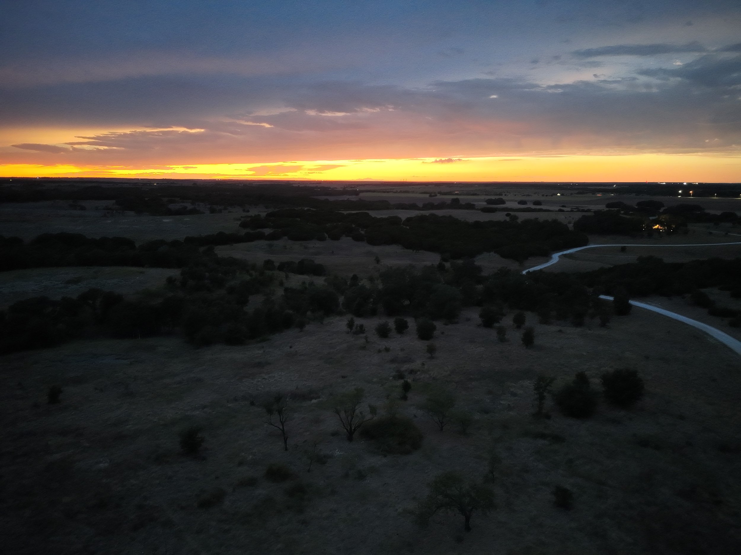
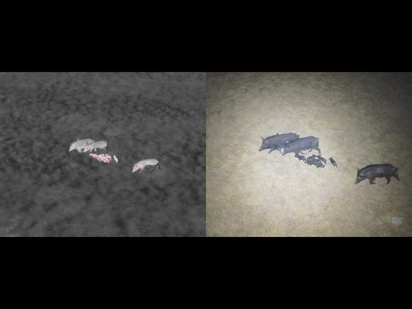
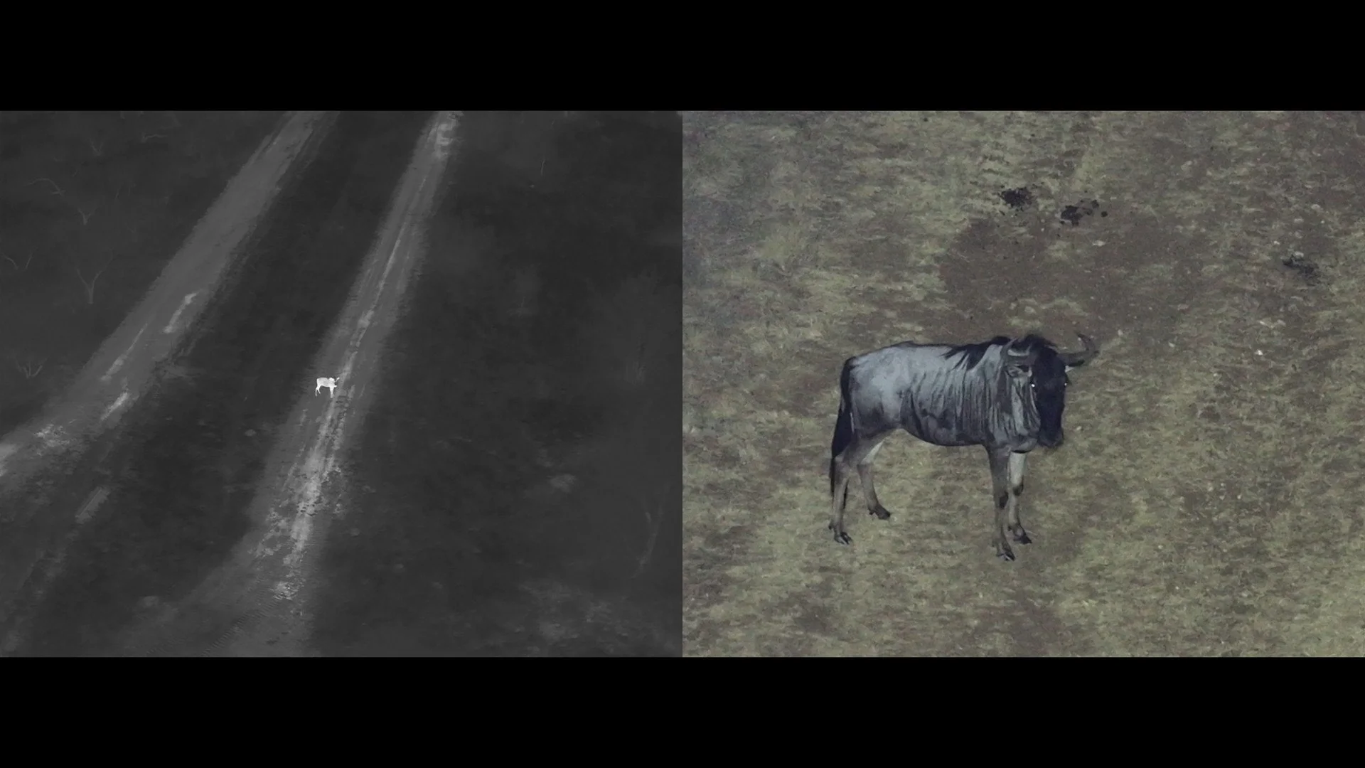
Field Falcon uses professional thermal drone technology to locate, survey, and monitor animals across ranches and large properties. From wildlife population surveys to missing livestock and escaped animals, our thermal capabilities provide an efficient way to cover large areas and locate what can be difficult to see from the ground.
thermal services
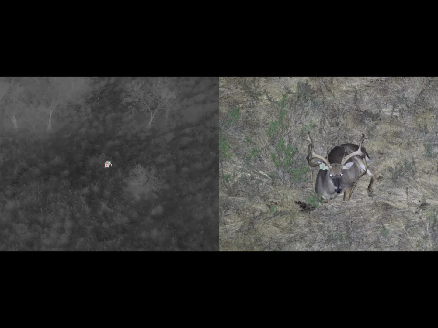
WILDLIFE SURVEYS & MANAGEMENT
Aerial thermal surveys designed to help landowners better understand the wildlife using their property. Services can include population counts, wildlife identification, feral hog and predator assessment, GPS location mapping, and repeat monitoring over time.
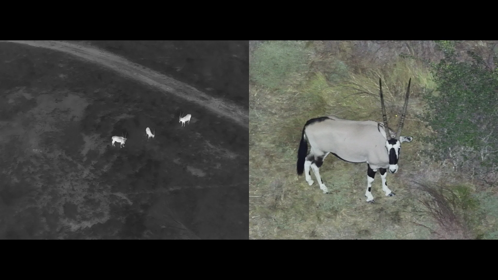
ANIMAL SEARCH & LOCATION
Targeted thermal aerial searches for missing livestock, escaped exotics, breeder animals, ranch dogs, and other difficult-to-locate animals. Thermal imaging allows us to efficiently search large, brushy, or difficult-to-access areas from the air.
Build your survey
Every property and wildlife operation is different. Choose the survey that fits your goals, then add the mapping, documentation, and reporting you need.
Survey types
Wildlife survey
A comprehensive thermal survey of wildlife across your property to identify population numbers, distribution, and activity. Ideal for landowners seeking a better understanding of wildlife across their property.
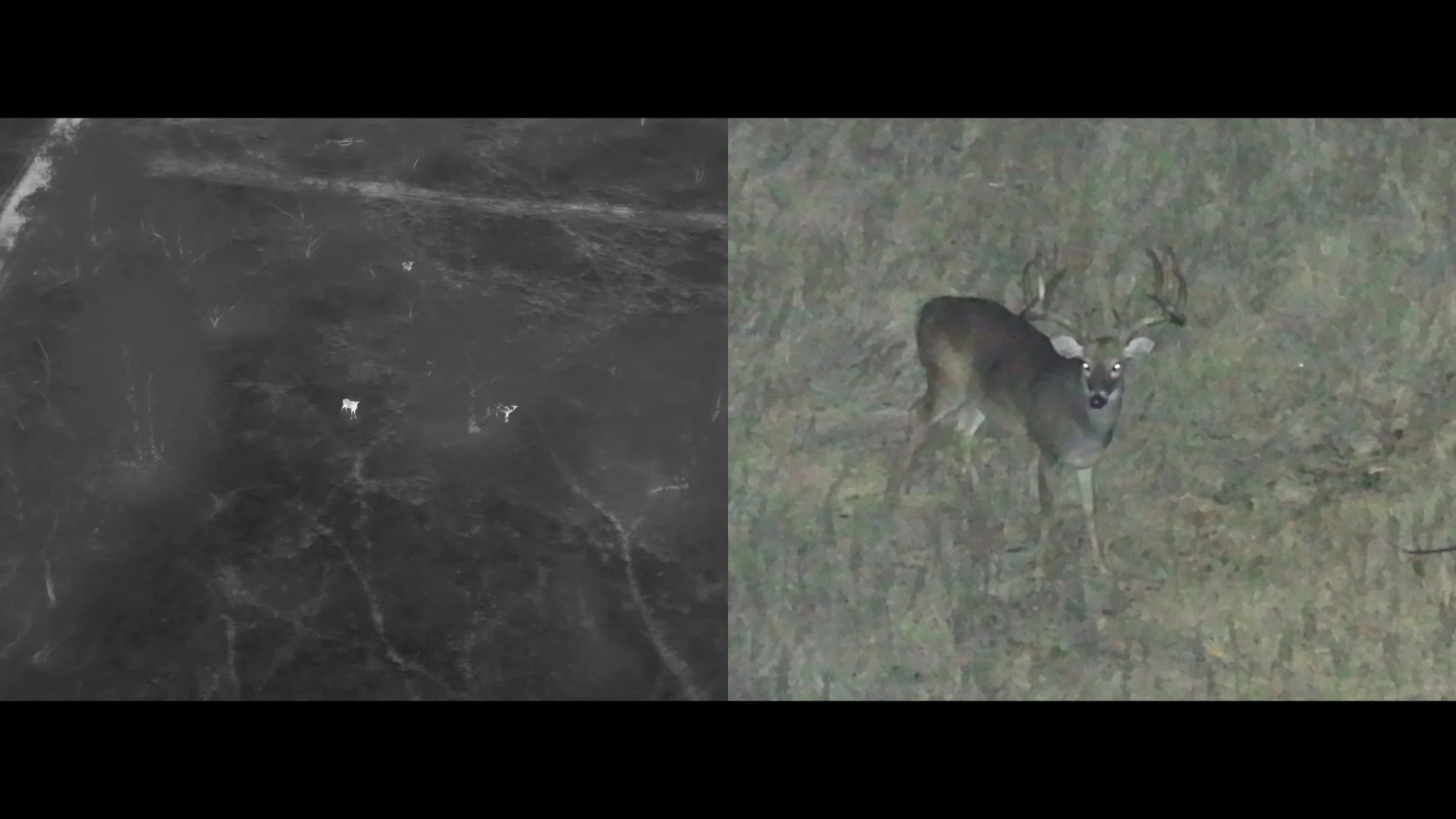
target species survey
Focus the survey on specific wildlife such as whitetail, exotics, feral hogs, or predators. Designed to locate and document the species most important to your management goals.
repeat monitoring survey
Repeat thermal surveys over time to track changes in wildlife populations, locations, and activity. Useful for monitoring trends, evaluating management efforts, and comparing activity between surveys.
what you receive
After the survey is flown, you will receive a detailed survey report. In that report, you will receive:
Flight & Equipment Documentation – Aircraft information, flight times, survey altitude, flight speed, transect spacing, and flight paths.
Environmental Conditions – Recorded temperature, wind, cloud cover, visibility, precipitation, and ground conditions during the survey.
Detection & Verification Process – Documentation of how wildlife was detected, reviewed, identified, and classified using thermal and visible-spectrum imagery.
Quality Control Summary – Records of confirmed observations, duplicate detections removed, false detections, unidentified animals, and footage review.
Observation Confidence Ratings – High, moderate, or low confidence classifications based on the quality of available imagery and identification.
Individual Observation Records – Unique observation IDs with available timestamps, GPS coordinates, species identification, animal classification, and supporting imagery references.
Population Estimate – A corrected population estimate when an applicable TPWD-accepted methodology has been established. Otherwise, confirmed observations and herd composition are reported without representing them as a complete population count.
Professional PDF Report – A comprehensive report containing survey results, charts, tables, maps, methodology, and supporting documentation.
Supporting Digital Files – Observation spreadsheets, property boundary files, survey-block maps, flight-path files, and applicable survey records.
Thermal & Visual Documentation – Available thermal and visible-spectrum imagery or video references associated with documented wildlife observations.
TPWD & MLDP Documentation – Organized survey information that landowners may provide to their cooperating TPWD biologist for evaluation in connection with wildlife management and MLDP participation.
Wildlife Population Summary – Total confirmed observations of white-tailed deer, exotic wildlife, feral hogs, predators, and other identifiable species encountered during the survey.
Deer Herd Composition – Detailed breakdown of observed bucks, does, and fawns, including percentages of each classification.
Herd Ratios – Observed buck-to-doe ratios, fawn-to-doe ratios, and deer detections per 100 acres.
Exotic Wildlife Observations – Species identification, confirmed counts, GPS locations, and distribution of exotic animals observed during the survey.
Feral Hog Observations – Confirmed hog counts, observed group sizes, GPS locations, and maps identifying areas of detected hog activity.
Predator Observations – Identification, confirmed counts, GPS locations, and distribution of predators such as coyotes and bobcats.
Additional Wildlife Observations – Documentation of other identifiable wildlife species encountered during the survey.
Wildlife Distribution Maps – Detailed GPS maps displaying observation locations, species classifications, property boundaries, and wildlife concentrations based on recorded detections.
Survey Block Breakdown – Wildlife observations organized by individual pastures or survey blocks, including species counts and observed deer density.
Survey Coverage Analysis – Documentation of total property acreage, completed survey acreage, coverage percentages, and any areas excluded from the survey.
Survey Limitations – Documentation of factors that may affect detection accuracy, including vegetation, terrain, weather, animal movement, and thermal visibility.
How it works
From the first conversation to final delivery, we keep the process straightforward and make sure you know what to expect along the way.
Phase 1.
request a quote
Share a few details about your property using our form. We’ll send a customized quote within 48 hours.
lock in the date
Ready to move forward? Reply to the quote email or give us a call. We suggest booking at least a month or two in advance. No deposit needed.
plan & get approved
About two weeks out, we will gather a few details and map your property. We’ll handle your paper work with the TPWD and you’ll approve the landowner form when you receive it.
Arrival & breifing
Before we begin, we’ll confirm access and any important property details with you by phone, text, or in person. We’ll review the survey area, gates, livestock, and any special instructions before setting up and preparing for the flight.
phase 2.
Thermal flight
Once everything is ready, we’ll fly the property using thermal imaging to locate, identify, and count wildlife throughout the survey area while recording the information needed for your survey.
wrap up & clear out
After the survey is complete, we’ll pack up our equipment and make sure everything is accounted for before leaving the property. Your survey results will then be finalized and delivered to you.
Initial review
After the flight, we’ll review the collected imagery and survey data to verify the results and organize wildlife observations. If you selected any additional survey packages or add-ons, those materials will also be prepared during this stage.
phase 3.
final report
Your survey results will be compiled into a clear, organized report showing the wildlife observed and counted during the survey. Your report, along with additional deliverables included with your selected package, will be sent directly to you.
payment
Once your survey is complete, we’ll send your final invoice using the information provided when you booked. Payment can then be completed using one of our available payment options.
WHY THERMAL SURVEYING
the thermal advantage
Aerial surveys allow us to cover large ranches and rural properties efficiently without relying on roads or physically traveling across every part of the property.
COVER MORE GROUND
Drones are quieter, safer, and less invasive than helicopters—reducing stress on wildlife and livestock while minimizing disruption to the land. Less noise. Less impact. Better results
REDUCE DISTURBANCE
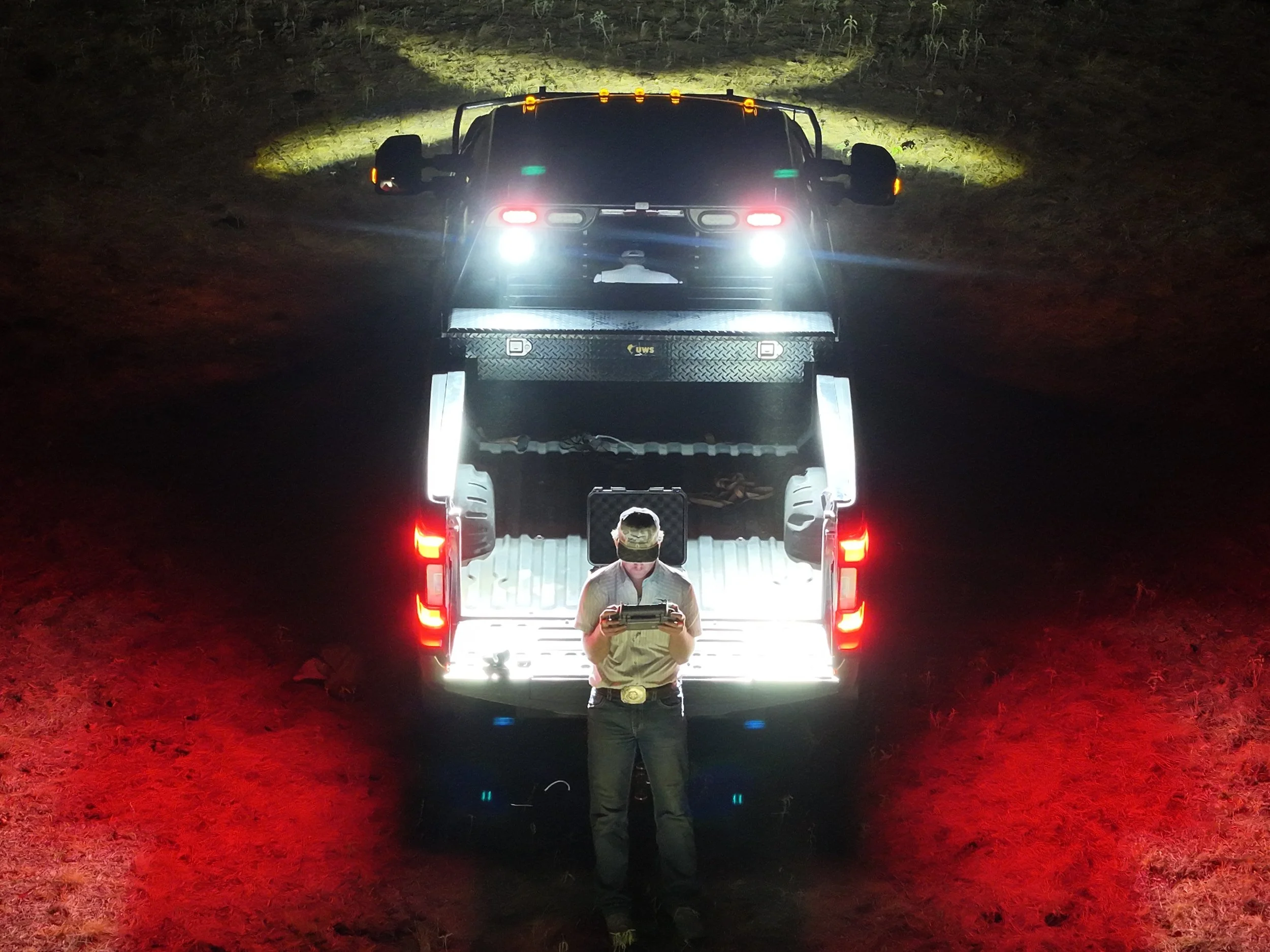
Aerial thermal surveys are more accurate and consistent than spotlight surveys, helicopter surveys, or game camera data. Providing a complete, real-time snapshot of wildlife across your entire property.

MORE ACCURATE. BETTER DATA.
Drones let us survey creeks, brush, rough country, wet areas, steep terrain, and limited-access portions of your property without having to drive or walk directly through them.

REACH DIFFICULT TERRAIN
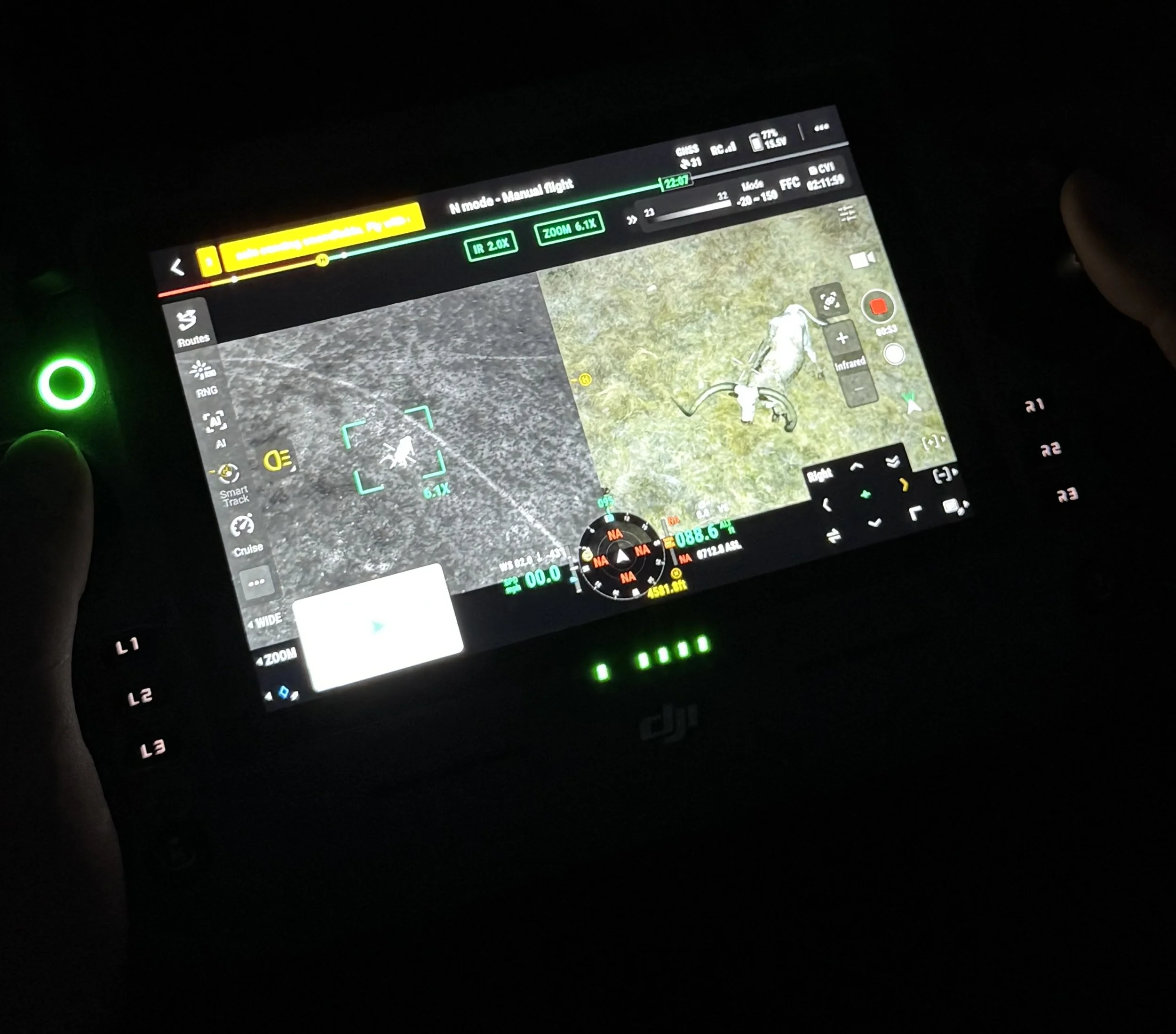
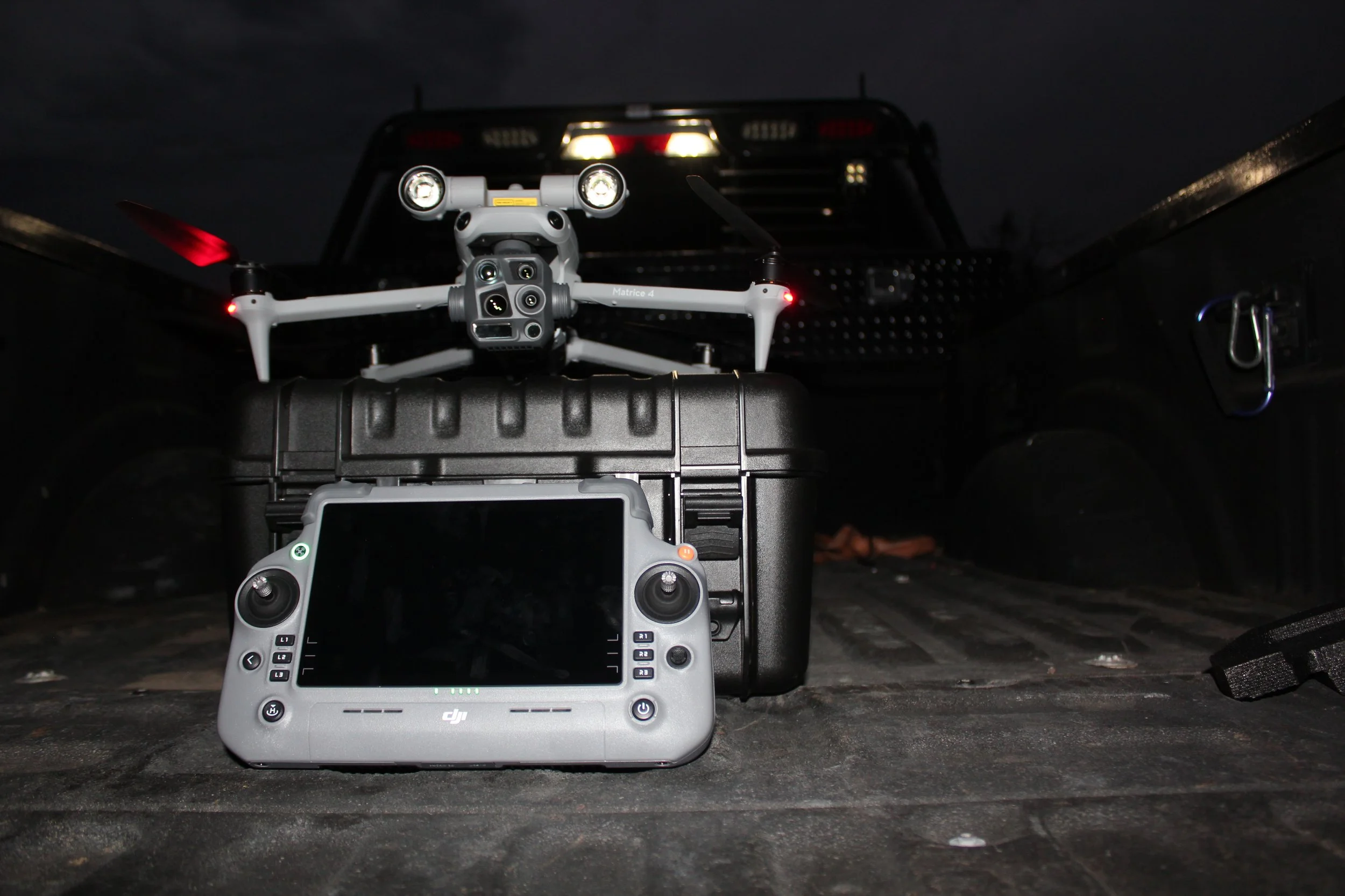
Planned flight paths allow your property to be surveyed in an organized, repeatable pattern instead of simply driving roads or choosing observation points—giving you consistent and reliable results every time.

SYSTEMATIC & EFFICIENT SURVEYS

READY TO survey your property?
Whether you need a comprehensive wildlife survey or help locating specific animals, Field Falcon provides professional aerial thermal services built around your property and objectives.